Contact us at info@rosehillcoalition.org
The Rose Hill Coalition LLC is non-partisan and provides information and education on a variety of land use issues affecting the Rose Hill Planning District. The Coalition supports education and full transparency on land-use issues directly affecting local residents.
We are not affiliated with any group, organization, or company.
The Coalition was founded by Franconia District resident Sharada Gilkey in response to the October 2022 application to change the zoning for the Rose Hill Shopping Center in Alexandria, VA, from strictly commercial to mixed-use residential. Since then, we have covered all relevant land use issues in the Rose Hill Planning District in Fairfax County, Virginia.
The Coalition believes that all land-use planning should require adherence to the Fairfax County Comprehensive Plan. Amendments to the Plan (SSPAs) must take into account resident feedback and the overall development of each planning district, including infrastructure, transportation, schools, and public amenities.
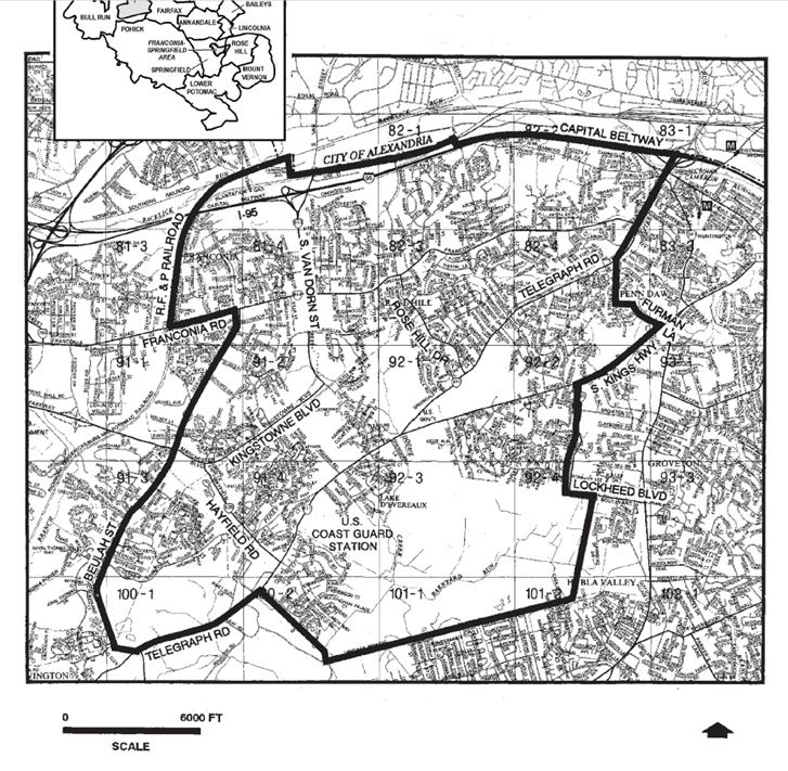
Current land-use projects in the Rose Hill Planning District (and some adjacent developments) include the following:
- Rose Hill Shopping Plaza
- Franconia Government Center Site
- Kingstowne
- INOVA Franconia-Springfield Hospital
- Data Centers in Fairfax County
- Telegraph Road Senior Housing Developments
- Landmark (West End)
- I-495 Express Lanes
- Oakwood Road Redevelopment
- Vine Street Redevelopment
Our History
Northern Virginia History (Facebook)
Historical Arial Photos of Fairfax County
Aerial imagery is available online in the Historic Imagery Viewer application. Currently this application includes: 1937, 1953, 1960, 1972, 1976, 1980, 1990, 1997, 2002, 2007, 2009, 2011, 2013, 2015, 2017, 2019, 2021, 2022, 2023 and 2024. Additional years will be added as the digital data become available.
FRANCONIA
“Frankhonia Farm” was situated on 191 acres purchased in 1859 by Alexandria merchant and businessman William Fowle from Joseph Broders of Oak Grove Farm. His son, Robert Rollins Fowle, sold 18 acres to the Alexandria & Fredericksburg Railway Company in 1871 for a station, which was named after the farm. The station served as the Garfield Post Office from 1881 to 1890 and again from 1898 to 1907. Initially situated south of Franconia Road near the present day Fleet Drive, the [railway] station was relocated after a fire in 1903 to the north side of Franconia Road. Regular service at Franconia Station was discontinued c. 1953. (https://www.hmdb.org/m.asp?m=158)
In 1723, Daniel French Sr. bought 903 acres that encompasses what today is known as Rose Hill. From the front lawn, he could see the Potomac River seven miles away and into Maryland near Indian Head. That same view exists today from the back yards of houses on the ridgeline in the vicinity of the original manor house on a high point at the end of what is now May Boulevard. (https://www.myrosehill.com/rose-hill-history)
Franconia History Museum
The Franconia Museum preserves the past, present, and future of the Franconia area in its pictures, artifacts and stories. Plan a visit today! The museum will be moving to the new Franconia Governmental Center in 2025.
Below: Franconia in 1937 (top) and 2024 (bottom), Fairfax County, Historical Photo (argis.com)


TYSONS CORNER
Although not in the Rose Hill Planning District, Tysons is a nearby large urban center that continues to grow. “Before Tysons Corner, the intersection that spawned the region’s name was called Peach Grove. It later became Tysons Crossroads, named after William Tyson, the Cecil County, Md., resident who bought the land in the 1850s.”
Updated Land Use and Development Data is available on Tysons Tracker


Stay in Touch!
As you can see, land use and development can transform the landscape and our neighborhoods! Sign up today to receive the “Coalition Update”.
Contact us at info@rosehillcoalition.org
